Resilience

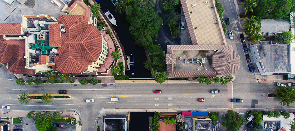
An aerial view of an area of Miami, FL. An aerial view of an area of Miami, FL.

Track in Resilience

The resilience track is superivsed by Professor Sonia Chao of the School of Architecture. Students who select the track in resilience must take ARC 694 - GIS in Urban Design, as well as 9 additional credits in resilience from the list below:

Accordion Group

Open All Tabs
  • ARC 694 - Geographic Information Systems in Urban Design

    Exploration of Geographic Information Systems (GIS) in urban design. Principles of GIS and their application to spatial analysis, data management and visualization. This is a required course for all students who select the track in resilience.

Accordion Group

Open All Tabs
  • ARC 622 - Urban Design History and Theory

    Part I: Survey of housing theories and projects with emphasis on morphological context, typology and composition - focus on topics of modernity. Part II: Introduction to thoroughfare design and walkability principles; description of urban, suburban, rural and regional infrastructure.

  • ARC 623 - Urban Design Competition

    Intensive, collaborative urban design project, combining master planning and real estate development expertise, to be submitted to international peer reviewed competition. Project teams are compromised of students from several different degree programs, such as architecture, urban design, real estate development, business, and law.

  • ARC 639 - Adaptation to Climate Change

    Introduction to the critical reconstitution of the city; theory and history of the concepts of revitilization and redevelopment; presentations, review, and criticism of current case studies.

  • ARC 643 - Seminar to Retrofit Suburbia

    Introduction to the critical reconsitution of the city; theory and history of the concepts of revitalization and redevelopment; presentations, review and criticism of current case studies.

  • ARC 648 - Seminar in Community Development

    Study of the contemporary context for the evelopment of the physical environment. Examination of public, private and third sector implementation of building and community design. Format: guest speakers, readings, discussions, and seminar.

  • ARC 680 - Professional Advancement, Internship + Research (PAIR)

    Research component of PAIR program. Student, host office and faculty collaboratively develop a focused, in-depth research project related to the tasks the student is completing as part of the internship component of the PAIR program. Application and PAIR committee acceptance required prior to enrollment.

  • ARC 684 - Special Problems (RAD-LAB UM)

    Group or individual investigations of significant architectural issues, offered by special arrangement only.

  • ACR 697 - Designing for the Internet of Things

    This course examines how current research and development in embedded computation bears on architecture, landscape, and urbanism. Students will explore the implications and impact of ubiquitous computing in its potential to change the way we conceive, construct, inhabit and interact with our buildings, landscapes, and cities.

  • GEG 636 - Sustainable Food Systems

    The intricacies of global geographies of major food systems, how these systems have come to be and where major food types are produced, why and where the major demand centers are located. It also examines the future implication for food through exploration and evaluation of a range of visions for a safe, sustainable food system.

  • GEG 643 - Population, Sustainability and the Media

    Explores opposing views of population growth and environmental sustainability through the media and cinema: contrasts "Doomsters" who believe population growth and resource consumption threaten human survival, and pro-growth "Boomsters" who believe human ingenuity and technology will continue to allow humankind to prosper.

  • GEG 693 - Geographic Information Systems II

    An introduction to spatial analysis, which consists of techniques for analyzing patterns of and interrelationships between spatial data. Topics include vector polygon editing and topology, integration of raster and vector data, surface analysis and 30 analysis, suitability mapping, spatial modeling and multi-criteria evaluations.

  • GEG 692 - Remote Sensing of the Environment

    Theory and techniques of environmental remote sensing and imagery interpretation for earth resources monitoring and management.

  • GEG 681 - Spatial Data Analysis II

    Social and environmental science applications of spatial statistical analysis illustrated with data and numerical (simulation experiments) examples employing interactive software. This course's focus is on spatial autocorrelation.

  • GEG 648 - Climate Change and Public Health

    The mechanisms by which climate change adversely affects human health and the policy options for mitigating our exposure.

  • GEG 612 - Health Applications of Geographic Information Systems

    Ideas from a broad range of geospatial health subjects, and hands-on exercises to help students to better process spatial data and use them for specific analyses that address issues related to health.

  • RED 601 - Introduction to Real Estate Development and Urbanism

    Fundamentals of real estate development of urban places, including the many challenges of the development process such as analyzing market sectors and development opportunities, comprehending the development context of regulation, public policy and politics, raising investment capital, assembling land, program formulation, bulding types, construction management, marketing and sales.

  • RED 650 - Complex Urban Real Estate Transactions

    Real estate transactions and deal structuring from the development perspective. using the case study method, the course explores the key components and the disciplines needed for successful real estate transactions and projects. ARRE_MREDU Academic Program.

  • RED 660 - Urban Redevelopment

    Build students' competencies for infill and redevelopment practice focusing on: mixed-use development, transit oriented development, barriers and solutions for urban infill development, urban site analysis, repositioning of urban land, vacant and underutilized properties, long-term land leases, tax incentives, historic preservation, public-private partnerships, business improvement districts, tax increment financing, community (re)development districts, parking strategies, and urban housing types.

Top